Climate change is a prompting matter of concern today, threatening not just humanity but also all the livings belonging to the world. Though scientists warn of the awaiting minacious effects of what climate change could bring us, the steps taken to void that disaster is not a great deal if compared to the rate of exploitation humans have been doing on this earth.
Measuring ozone levels and global temperature rise have been the ways to evaluate the climate change’s impact on the ongoing days, along with notably measuring the sea-levels, which NASA relies on for decades. So, if you think NASA is only keen on exploring worlds outside the world, you may’ve to rethink your thoughts. NASA eyes on the sea-rise levels to the decimals, owing to its impact and effective understanding of the earth’s atmosphere.
However, NASA neither have marks or lines, written or drawn on the seashore for measuring the water-level, as they do in dams or reservoirs nor uses sonar for the purpose.
Rather, the organization uses Satellites from Space to measure the sea levels on earth. But, answering with just ‘Satellites are used to measure the sea-level from Space’ won’t be paying justice to the curiosity of knowing.
Well, that’s why I had continued here, for your understanding.
NASA’s Satellites to measure Sea-level
Ever since sea-level rise had evolved into an aspect of climate-change, NASA launched satellite onto the orbit since 1992, wherein the first satellite – TOPEX / Poseidon mission was set in motion, followed by three Jason satellites and then the first Sentinel.
To avoid overlooking the data across the years, all the missions of the series – means all the satellites involved over years, lies on the same orbit, 1300 km from the ground-level. This further allowed to get the same view of the oceans.
On occasion of launching a new satellite to replace the near-deadly one, the new and predecessor satellite would fly close together for months, before saying goodbye to the predecessor, ensuring calibration of the data consistently recorded across the five satellites to the date.
“It’s really an amazing accomplishment in terms of our climate science record,” Willis said.
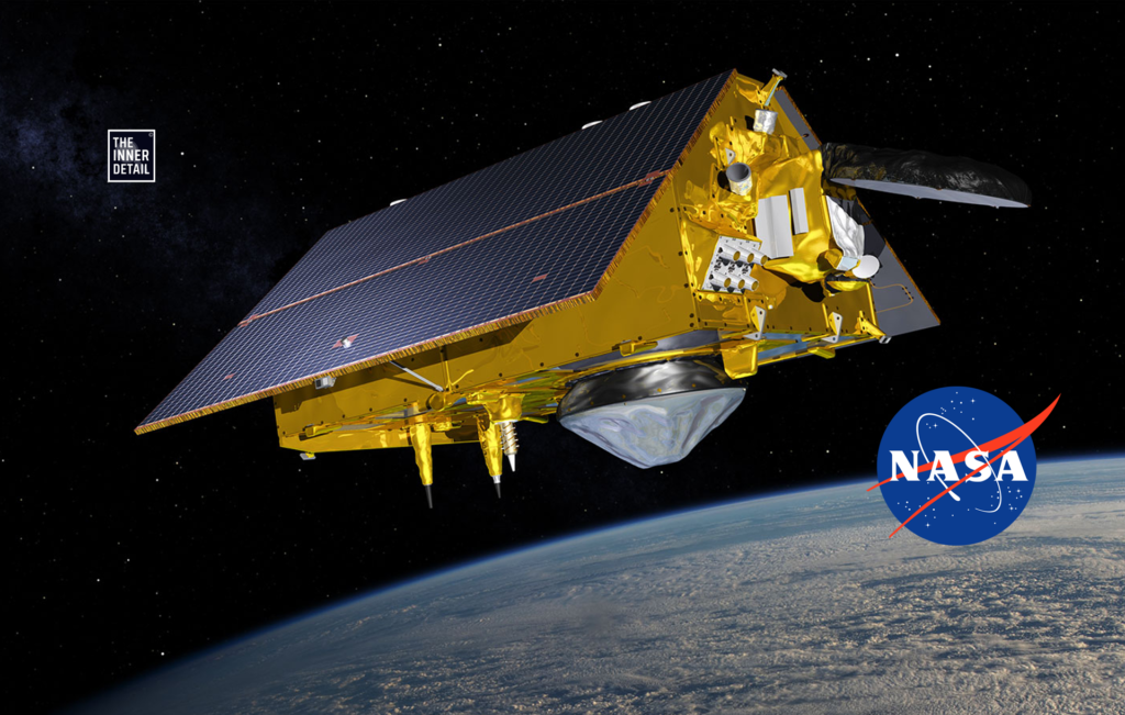
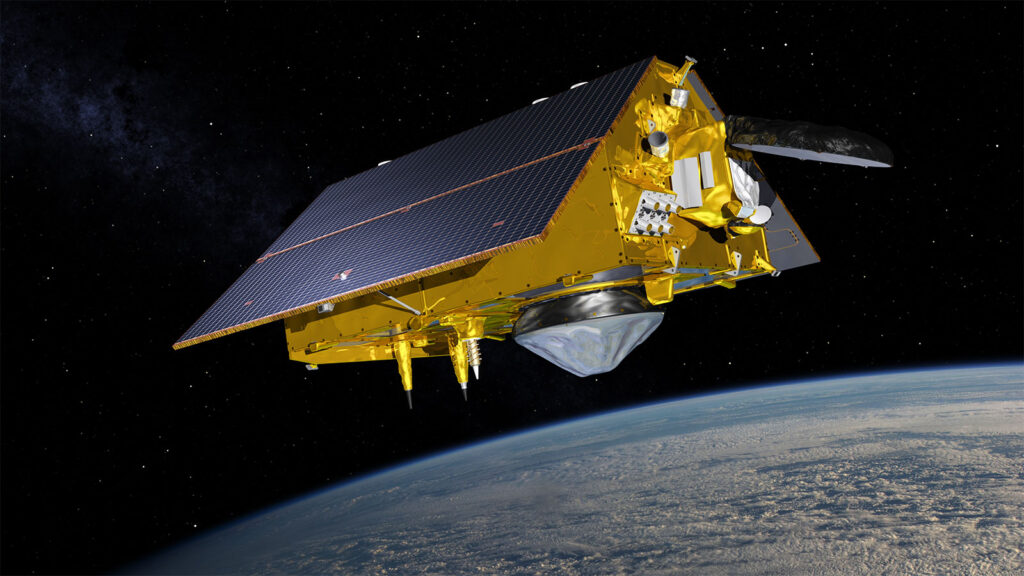
Sentinel-6 Michael Freilich gets the name of latest launched satellite for measuring sea levels that got seated on late 2020. And, its twin Sentinel-6b will take over Michael Freilich in 2025.
You can see the Sentinel-6 floating on space by heading here.
So, technically there won’t be any glitches for next 40 years, provided natural calamities let safe the five watchers.
Measuring the Sea-Levels
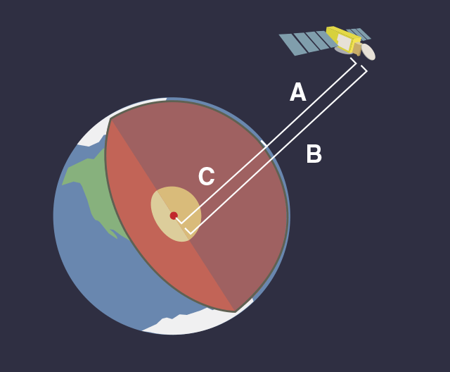
Satellites of NASA though technologically improvised, practically relies on few basic concepts of physics to calculate the centimeter-level rise of seas and oceans. Firstly, comes radar, which sends radio waves down to the surface to measure the distance between the satellite and the ocean. The waves bounce off the ocean surface and return to the satellite itself and the reaction time – how long does it take to get the signals back arrives at the first step of measuring the sea levels (A).
Sentinel also calculates its altitude from the earth’s center via its positioning systems (B), so this value can be subtracted from the sea-level measurements, ultimately to come out with sea-level.
NASA didn’t stop with this. One more vital instrument called radiometer, helps to derive out the accurate sea-level rise of the water bodies, by measuring the amount of water in the atmosphere by looking at the brightness of the ocean and deducting it with the previous calculations.
The water in the atmosphere affects the radio waves sent by the radar, so the radiometer is required to correct for this and ensure a high level of accuracy for sea level measurements.
Related Posts
These three instruments, along with the consistent orbits, are what makes Sentinel-6 the most accurate method we have for measuring sea level rise – and that’s why it is accurate enough to be the international reference mission.
What else Sentinel can do?
The real part of calculating the water levels actually starts after Sentinel finished its job of reporting the data. The data has to be interpreted to arrive on a value, since the oceans aren’t flat and satellite averages out readings over an area of several square kilometers to allow for this.
Probably, sea-levels are disturbed by few calamity noises, including weather, atmospheric pressure, strong currents and gravity. For example, when pressure is low, the sea gets domed up, to compensate the pressure.
Don’t Miss this Out: NASA’s Top 10 Inventions that We Use in our Daily Lives!
NASA scientists collaborate all the data fed by Sentinel & deduce these informations:
Measurement of Sea-level
Wind Speeds & Strength
Sea-Wave intensifications
Tracking of Debris or Oil leaks on ocean
Monitoring lakes & rivers
One interesting fact that NASA spends $70.6 million for a satellite deployed for this purpose, according to 2021 budget book of NASA, and here in 2021, Sentinel-6 gets all the money. So, technically Sentinel-6 costs $70 million (₹542.8 Crores). Anyone can access Sentinel’s data on the JPL website or on NASA’s Earth data website.
Comment section awaits for your thoughts on this Sentinel & if you have any suggestions / feedback!